

Environment | Wetland explainer | 7 November 2026
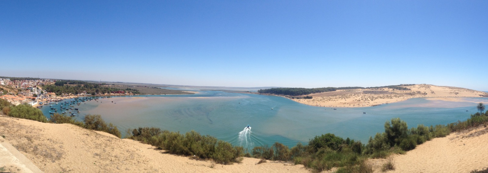
At Merja Zerga, the exposed mud is part of the attraction. When the tide retreats from this Atlantic lagoon beside Moulay Bousselham, north of Kenitra, it reveals feeding ground for waterbirds. Understanding that changing surface explains more about the wetland than treating it as a blue lake with a list of species.
The lagoon connects ocean water, freshwater inputs, bottom-dwelling animals and human livelihoods. Its international conservation status recognises that value. It does not, by itself, tell a visitor how healthy the habitat is today.
The tide changes the usable landscape
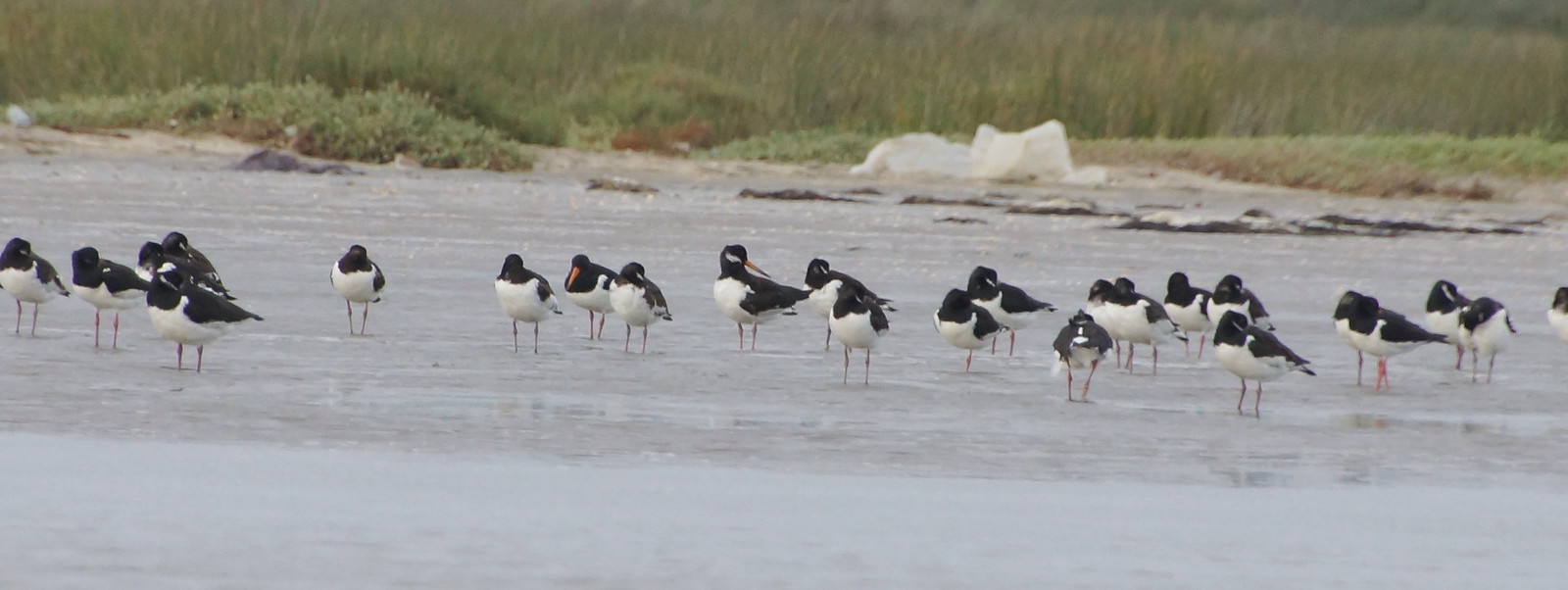
BirdLife International’s site account describes tidal inflow alongside water from the Oued Drader and the shallow water table. At low tide, exposed mudbanks provide extensive feeding areas for waders and other waterbirds. Marshland and rough pasture around the lagoon are also part of the wider site.
This is not one uniform pool. Water covers and uncovers different surfaces, while channels retain water. The ecological question is therefore not simply how much blue appears in a photograph, but which habitats are available and how water moves between them.

The food web begins below the birds
A study published in Oceanologica Acta in 2003 examined animals living on or in the lagoon bed. Its field sampling took place in 1994-95, so it is a historical ecological baseline, not a new survey.
The researchers found that the distribution of these communities was linked to sediment and water conditions. In areas exposed between tides, the sediment’s silt content was especially important; in permanently submerged areas, hydrological factors had the stronger role. Different communities included animals filtering suspended food from the water and others feeding on material deposited at the surface.
These bottom-dwelling animals, collectively called benthic fauna, help connect the lagoon bed to fish and birds. The study identifies them as a food resource for both exploited fish and protected birds. Conserving the visible flock therefore involves processes that are largely invisible from the shore.
A recent document can contain an old count
The Ramsar information sheet published in March 2025 records Merja Zerga’s designation in 1980 and an official site area of 7,300 hectares. That boundary includes more than a single expanse of open water.
The document also illustrates why dates matter. Its waterbird-total evidence refers to 1993-2000. BirdLife’s site page likewise displays assessment and monitoring fields dated 2001. Neither should be repackaged as a count of birds present in November 2026. A document’s publication date and the period of an observation are different facts.
Those records establish the site’s documented importance. They do not provide a continuous, up-to-date measure of population change, nor evidence that a particular species will be visible on a visit.
Conservation includes the uses around the lagoon
The Ramsar sheet describes fishing, shellfish gathering, farming, livestock and rush cutting, alongside pressures associated with groundwater use, agricultural runoff and resource extraction. These are attributed findings in the site documentation, not a fresh inspection or a claim that every activity has the same impact.
The Convention on Wetlands defines “wise use” around maintaining ecological character within sustainable development. The point is not to imagine an empty landscape without people, but to keep the processes supporting nature and livelihoods functioning together. A local cooperation project’s account of Merja Zerga similarly calls for a basin-wide approach involving different users. That stated aim is not proof of completed restoration.
Morocco’s wider water debate also extends beyond supply alone. The rules around oasis khettaras concern a very different environment, but offer a related reminder: a water system includes its users and the arrangements governing use.
At Merja Zerga, birds are the most conspicuous part of that system. The tide, sediments, food organisms and surrounding land use explain why they belong there. Seeing the wetland as a set of connected habitats is more useful than mistaking either a crowded photograph or an international designation for a current health report.
Featured archive photograph: Eurasian oystercatchers at Moulay Bousselham, 27 April 2013. rob Stoeltje, DSC03933, Flickr, CC BY 2.0. Resized; header may crop. Not a current bird count.
Editorial method: AI assisted research and drafting. Published sources and their observation periods were checked. No site visit, new bird count, water-quality test or independent assessment of current management was conducted. Editorial responsibility remains with Sada Journal.