

The Gharb plain’s agricultural landscape was made partly by changing where water could stay. A study published in October 2026 reconstructs a loss of about 88% of the marshland area it mapped, mainly through drainage schemes completed by 2005. That is a historical estimate for a defined part of northwestern Morocco, not a claim that the country lost 88% of its wetlands this year.
The finding in brief
- The researchers reconstructed about 45,006 hectares of original marshland and estimated roughly 39,659 hectares lost between the early twentieth century and 2005.
- The estimate concerns mapped Gharb marshes, not every Moroccan wetland. The nearby Merja Zerga lagoon and Sidi Boughaba lake were explicitly outside the study area.
- Land brought into cultivation and wetland habitat retained are different outcomes. The study measures the latter’s decline; it does not calculate the net economic balance of agricultural development.
A floodplain engineered for farming
The Gharb lies around the lower Sebou river, north of Rabat, Morocco’s capital. Its low-lying depressions can receive rainfall, river floods and groundwater. A marsh is therefore more than land that looks wet on a particular day: the timing and duration of flooding help determine what can live there.
In their Diversity paper published on 19 October 2026, Mohamed Dakki and colleagues trace successive hydro-agricultural schemes from the Baht river development of 1927-1933 through the Sebou programme of 1970-2005. Drainage made seasonally flooded ground available for cultivation, while irrigation supplied water where crops needed it. Those operations can coexist: removing water from one place and delivering it elsewhere are parts of the same engineered landscape.
The authors combined historical maps, agricultural-development records, satellite imagery and field observations. Their reconstruction is not a continuous satellite record beginning in the 1920s. Older cartography helps establish an earlier landscape that modern images alone cannot recover.
What the 88% measures
Table 2 gives an original mapped marshland area of 45,006.15 hectares and an estimated lost area of 39,658.89 hectares. Dividing the second by the first gives 88.12%, consistent with the paper’s rounded headline finding. Reporting approximately 45,000 and 39,700 hectares better reflects the reconstruction’s limits than treating hundredths of a hectare as observational certainty.
The number is not a national inventory, a measure of all land in the Gharb, or a loss rate for 2026. The paper’s conclusion places the reconstructed loss between 1920 and 2005. Many small, intermittent marshes were not included, and the authors acknowledge limits in maps, image resolution and the delineation of former wetlands.
A further distinction concerns water returning after rain. The researchers describe former marshes that still flood in wet winters but are drained and cultivated in spring. Temporary inundation does not necessarily restore the earlier habitat. The important question is whether the seasonal water regime and ecological functions persist, not whether a photograph contains standing water.

A conservation label is a different boundary
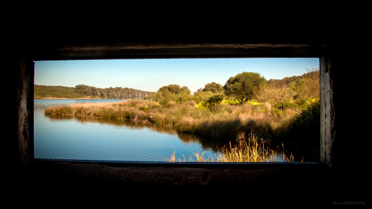
Merja Fouwarate, beside Kenitra, helps explain why definitions matter. The Ramsar Sites Information Service’s March 2025 record lists a designated site of 460 hectares, recognised on 12 January 2018. The drainage paper discusses an approximately 300-hectare marsh. Those figures should not be substituted for one another: a conservation boundary and a marsh-area estimate are not automatically the same measurement.
The Convention on Wetlands’ 2018 designation account describes improved hydrology and expanding aquatic vegetation at Fouwarate, alongside pressures from drainage, filling, urbanisation and pollution. That dated account supports the site’s ecological importance. It is not a fresh inspection establishing its condition in November 2026.
The same care applies to Merja Zerga’s lagoon habitats. Its food web matters in its own right, but its conservation status cannot be counted as compensation for every inland marsh lost elsewhere.
Restoration needs more than hectares
The Gharb study does not supply a monetary account comparing agricultural output, flood protection, livelihoods and lost ecosystem services. Its habitat estimate cannot, on its own, establish which individual restoration project would produce the greatest public benefit. Nor does a mapped loss percentage prove a particular number of birds disappeared.
The Convention’s wise-use approach links maintaining ecological character with sustainable development. In practice, a restoration case needs to identify where water would come from, how long it would remain, which habitats could return and which users would be affected. As research on Maamora’s cork-oak regeneration also shows, an area or activity count is only a starting point for judging ecological recovery.
The Gharb reconstruction makes an older transformation visible. Its value is not a new national disaster statistic, but a documented reminder that agricultural hectares and functioning wetlands belong in different columns of the same land-use account.
Sources and method: This is a source-based analysis, not a site visit, new habitat survey or independent audit of present land use.The paper’s methods, results and detailed table were inspected; its central percentage was recalculated. Historical findings retain their dates and geographical limits. No current bird total, pollutant finding, project success rate or net economic valuation is claimed.
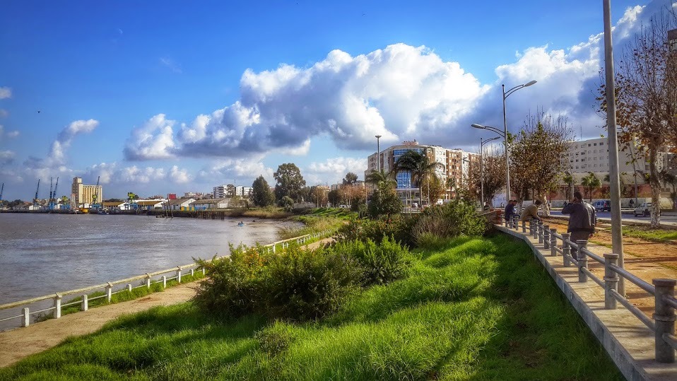
Lead archive photograph: Sebou river at Kenitra’s corniche, 27 April 2015, by Hakim Dahoune / Wikimedia Commons, CC BY-SA 4.0. Full-frame reproduction, no generative changes. River-basin context, not a photograph of a drained marsh, a study plot or current water conditions.
