

A new study of Morocco’s Moulouya estuary recorded 75 groups of bottom-dwelling animals in its wet-season sampling and 60 in its dry-season sampling. That difference is a reason to read the calendar, not a ready-made measure of biodiversity loss. The observations describe different conditions within one year, not a long-term trend.
The publisher’s abstract of the study, published on November 17, 2026, reports surveys at 13 stations in February and September 2025. It links changes in the animal communities to the estuary’s changing water conditions. The useful finding is a seasonal ecological record. It is not a verdict that the river mouth is healthy, restored or free of pollution.
A river mouth is a moving environment
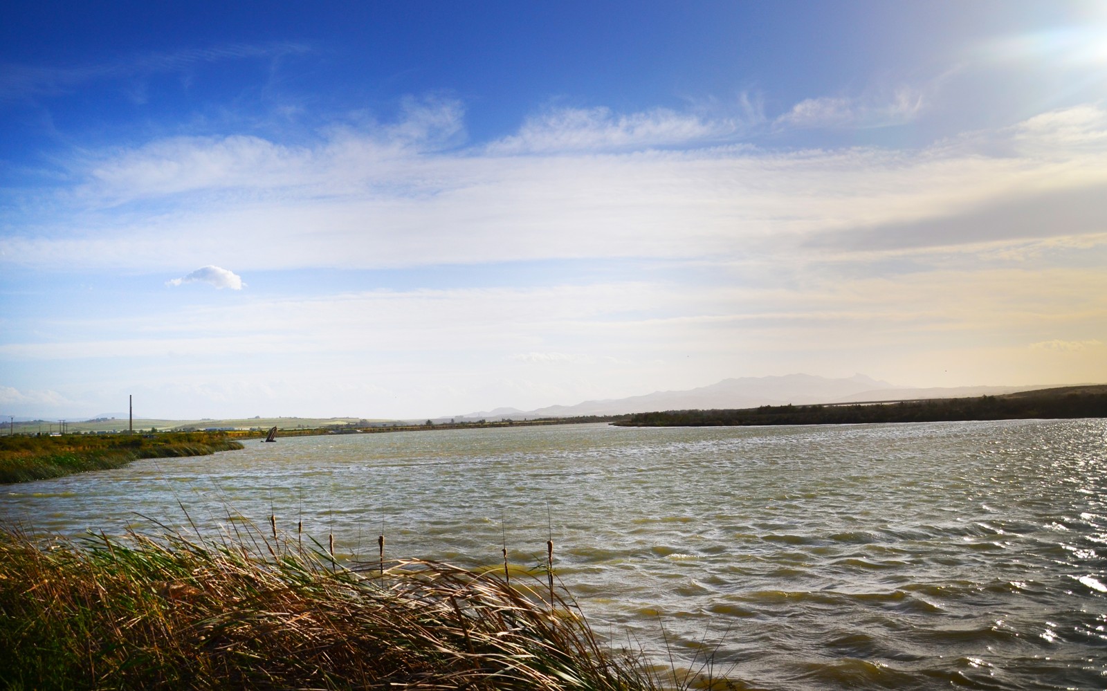
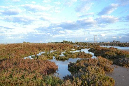
The Moulouya reaches the Mediterranean in northeastern Morocco, between Saïdia and Cap de l’Eau. The Ramsar information sheet published in March 2025 describes a wetland complex containing the river channel, saltmarsh, coastal dunes and adjacent marine waters. Its underlying information was compiled for 2016-23. The document is a conservation record, not a November 2026 field inspection.
An estuary is where fresh and marine waters meet. That mixture changes with river flows, tides and evaporation. Salinity, temperature and the oxygen dissolved in the water affect which organisms can live there. The US National Oceanic and Atmospheric Administration’s estuary-monitoring guide explains why those measurements need to be read together: organisms differ in their tolerance of salt, while warmer and saltier water can hold less oxygen.
These are general ecological mechanisms, not evidence that a single factor caused every difference found in the Moulouya samples.
The animals beneath the surface
Scientists call animals living on or in the bottom benthic fauna. The November paper concerns macrofauna, including molluscs, crustaceans and annelid worms. They add a biological record to the water measurements. Counting them asks a different question from measuring salinity or taking a photograph of the river.
The authors report 79 taxa across the two sampling periods combined. A taxon is an identified biological group; it should not automatically be rewritten as a species. Nor should the two seasonal totals be added together as though they represented entirely different animals. Some groups can occur in both sets of samples.
According to the abstract, the dry-season water had higher temperature, salinity and electrical conductivity, consistent with a stronger relative marine influence. Dissolved oxygen was higher in the wet season. The statistical analysis identified associations between those conditions and the distribution of the animal communities. Association does not, by itself, isolate the contribution of pollution, water abstraction or any other individual pressure.

A sampling method is part of the result
An earlier open-access conference paper by an overlapping research team, published in February 2026, examined the Moulouya and Kert river mouths using February 2025 fieldwork. It describes collecting bottom material with a grab, taking replicate samples and sieving the material before identifying the organisms.
Those details matter. The area sampled, sediment type, mesh size, stations and time of collection all help define the resulting inventory. The conference paper is a separate, preliminary publication, not an independent replication of the November study. Its methods cannot simply be assumed to describe every detail of the later paper, whose full text was not available for this explainer.
Likewise, a lower count in September does not establish a decline from one year to the next. Testing a persistent change requires comparable observations across time and attention to the conditions under which they were made. A seasonal comparison helps build that evidence; it does not replace it.
Monitoring does not remove the pressures
The wider conservation questions remain. Hespress’s December 2025 account of a scientific seminar in Oujda reported concerns about pumping, salinisation, pollution and tourism pressures around the lower Moulouya. Those are attributed concerns from that meeting, not causes independently quantified by the new seasonal inventory.
The ecological consultancy Biotope describes a separate monitoring assignment involving habitat mapping, ecological and socio-economic diagnosis, and a reference state for comparison. Its project description does not demonstrate that restoration has been completed or that a particular management measure has worked.
The distinction is familiar from Merja Zerga’s bottom-dwelling food web on Morocco’s Atlantic coast. A wetland’s visible wildlife depends on less visible processes. Research on carbon in that lagoon’s sediments also shows why one environmental measurement cannot stand in for the condition of an entire site. The two wetlands and their datasets are different, not interchangeable examples of the same result.
At the Moulouya, the new seasonal observations make the estuary more legible. Their value lies in showing what was found, where and when, while keeping the larger questions of causes, long-term change and effective protection open to further evidence.
Sources and method
This source-based science explainer uses the November paper’s publicly available abstract, not its subscription full text; the earlier conference paper was inspected in full. The Ramsar record, monitoring guidance and attributed contextual accounts were also inspected. No new sampling, site visit, interviews or independent ecological assessment was conducted. The seasonal totals are not presented as a long-term loss estimate.
Lead archive photograph: Moulouya River, September 17, 2010. Photo: Bilal026, Moulouya river / Wikimedia Commons, CC BY-SA 3.0. Cropped, resized and recompressed; this adaptation is under the same licence. The source does not identify a sampling station. Not a photograph of the 2025 fieldwork or present conditions.
